“This was our longest hike yet” 13 1/2 hours to be exact. One enduring tough day.
Having hiked for the past six weekends, we knew we were ready-fit for this long haul.
The night before we lucked out and got a couple of bunks at Topo’s and TMax Hostel, where we chilled with the fellow hiking crowd.
You know you’re a hiker when you’re pumped to turn in early so that you can hit the trail before dawn.
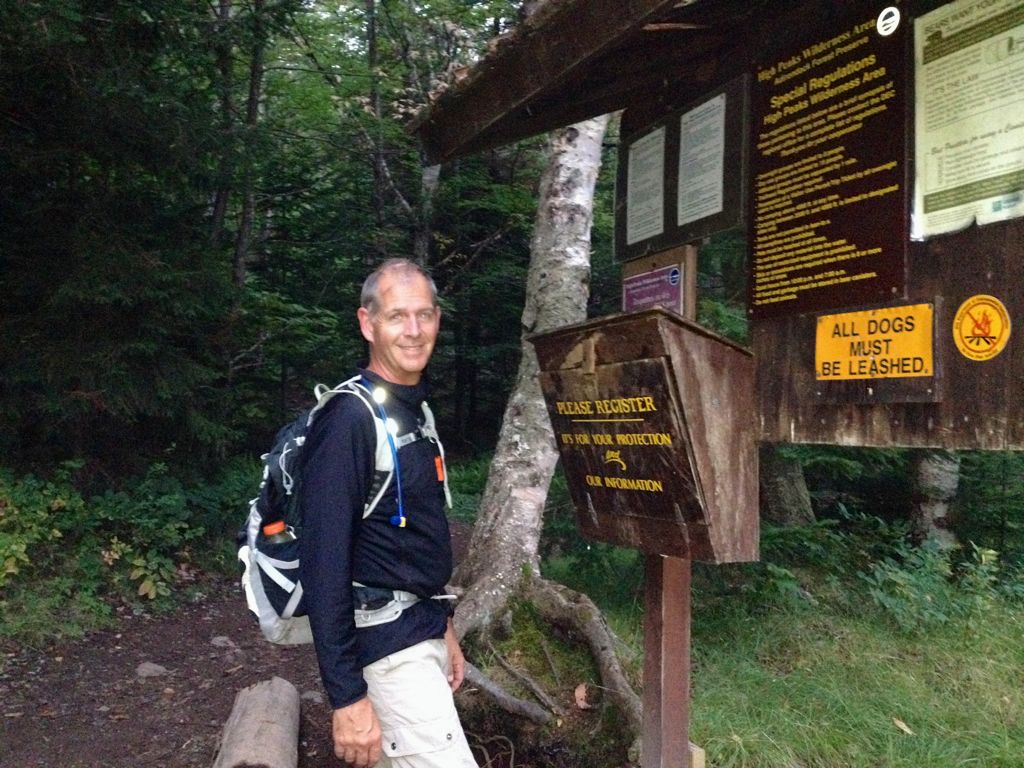
The alarm went off at 4 am and we quietly shuffled into our hiking clothes, checked our packs and maps before heading off to the High Peaks trailhead at the Loj. By 5:15 we set out on the trail to Marcy Dam.
The nippy morning air was invigorating and desirable; one needs to wake up because putting one step in front of the other in the dark with your head torch illuminating the way is tricky, your depth perception is off, and you must be attentive lest you sprain an ankle. By 6 am, it was light enough to put away our lamps.
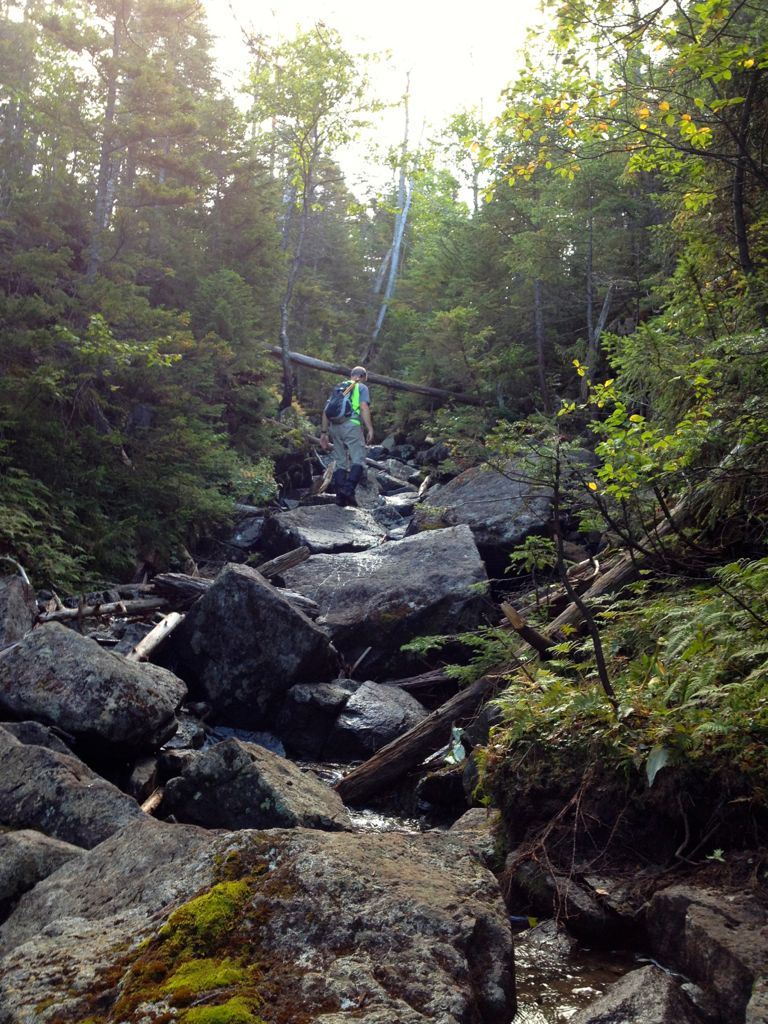
We decided to go in over the Lake Arnold trail as it was a more direct line to the trailhead for Cliff and Redfield. This trail is vigorous as you boulder hop up 1300 ft to the top of the rocky pass.
A fun section of the trail.
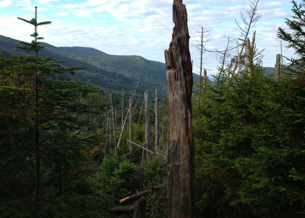
View as we emerged from the woods.
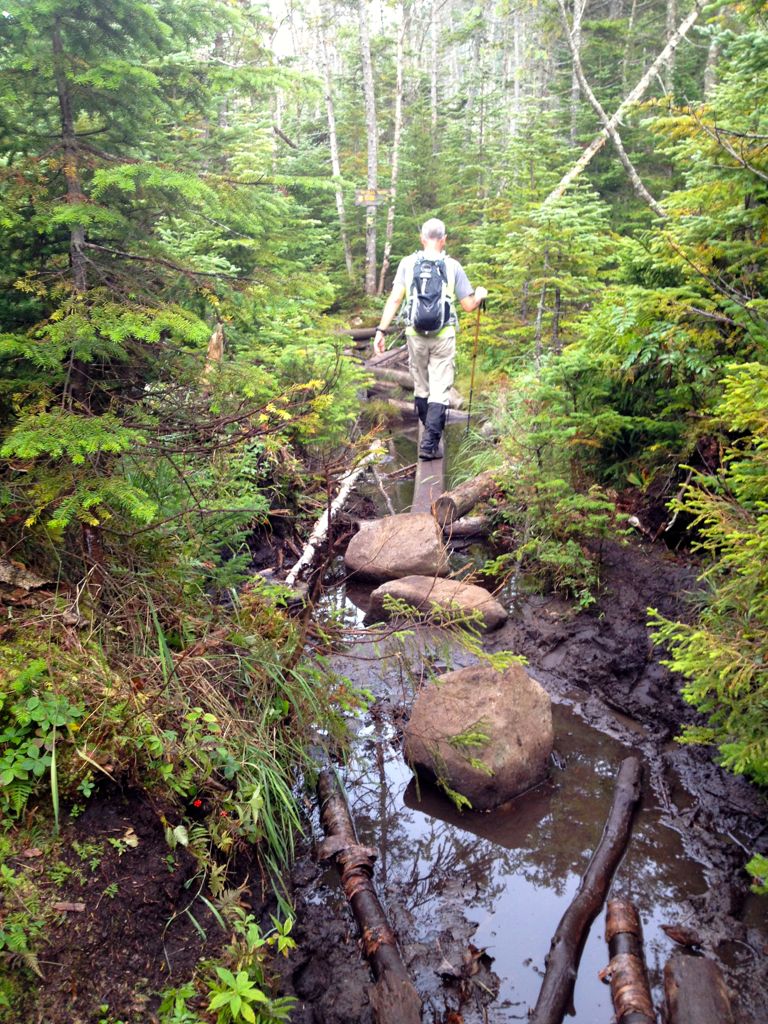
Navigating through another marsh
Past the Mt. Colden trail, you descend gently down to a bog created by a beaver dam. Fancy footwork and good balance allowed us to navigate and hopscotch over the logs without getting soaked.
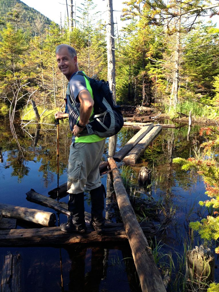
“You lead the way Gord, I’m right behind ya.”
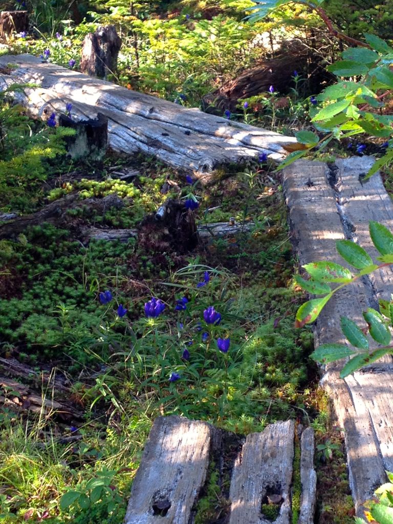
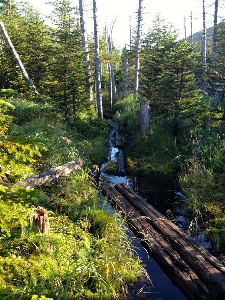
Some colour along yet another mossy bog.
We reached Feldspar lean-to and continued down the half mile to Uphill lean-to. Here we found the herd path to Redfield and Cliff. A few hundred yards up the trail splits, left goes to Redfield, right goes to Cliff.
Cliff and Redfield cairn junction marker.
We decided to do Redfield first as it was a long hike. The trail started out rooty and muddy following Uphill Brook for about 600 ft. Gordon’s new Suunto altimeter watch let us know our elevation and how much more climbing we had to do. Once the brook faded, we followed a decent trail to the summit.
Rocky trail up to Redfield
The top had some excellent views of the MacIntyre Range, Colden, Gray, Marcy and Skylight mountains.
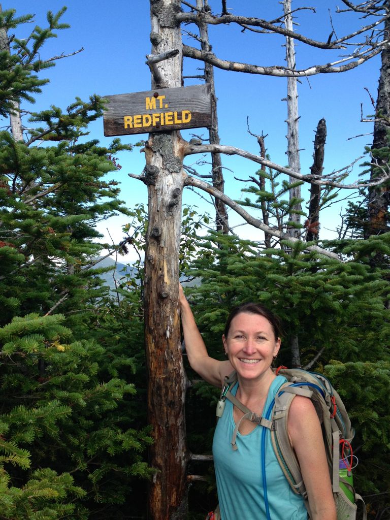
Have you been keeping count? We have, Redfield puts us at 43 peaks!

Large leafed goldenrod, a lovely splash of yellow at the summit.
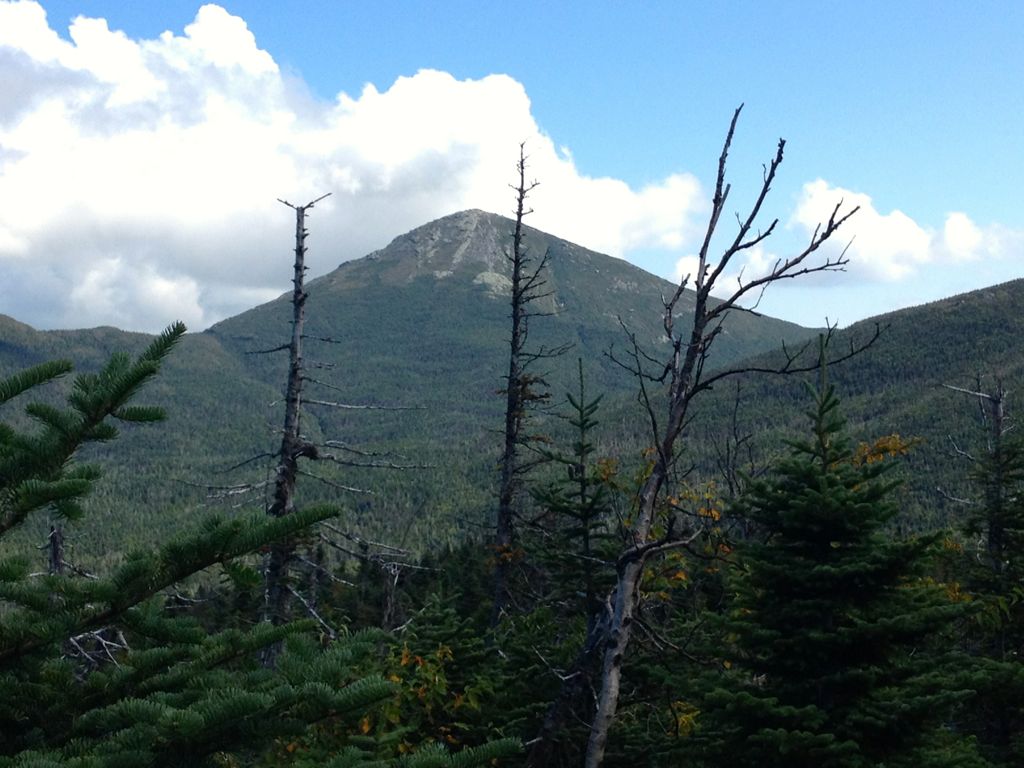
Mount Marcy, view taken from just below the summit of Redfield.
It took us about an hour and ten minutes to climb and equal time to descend Redfield. There are some beautiful spots along the brook to enjoy so take the time to stop.
Back at the cairn, we headed right away up Cliff, warned by other hikers that it was very muddy and steep. This is true, both of us had some missteps into the sludge, pretty hard to avoid on this trail. Soon the mud stopped, and the climb began. Cliff is a relatively short hike, and the majority of the 700 ft climb occurs in about 2/10s of a mile. Hence it got the name, Cliff.
We like challenging sections, and the series of cliffs were fun to ascend, demanding but not scary difficult. Once at the top of the cliff, you think the summit is near, but it’s just a tease, another fifteen-minute walk along a ridge before you reach the peak.

One of the many scrambles along the Cliff Mt. trail.
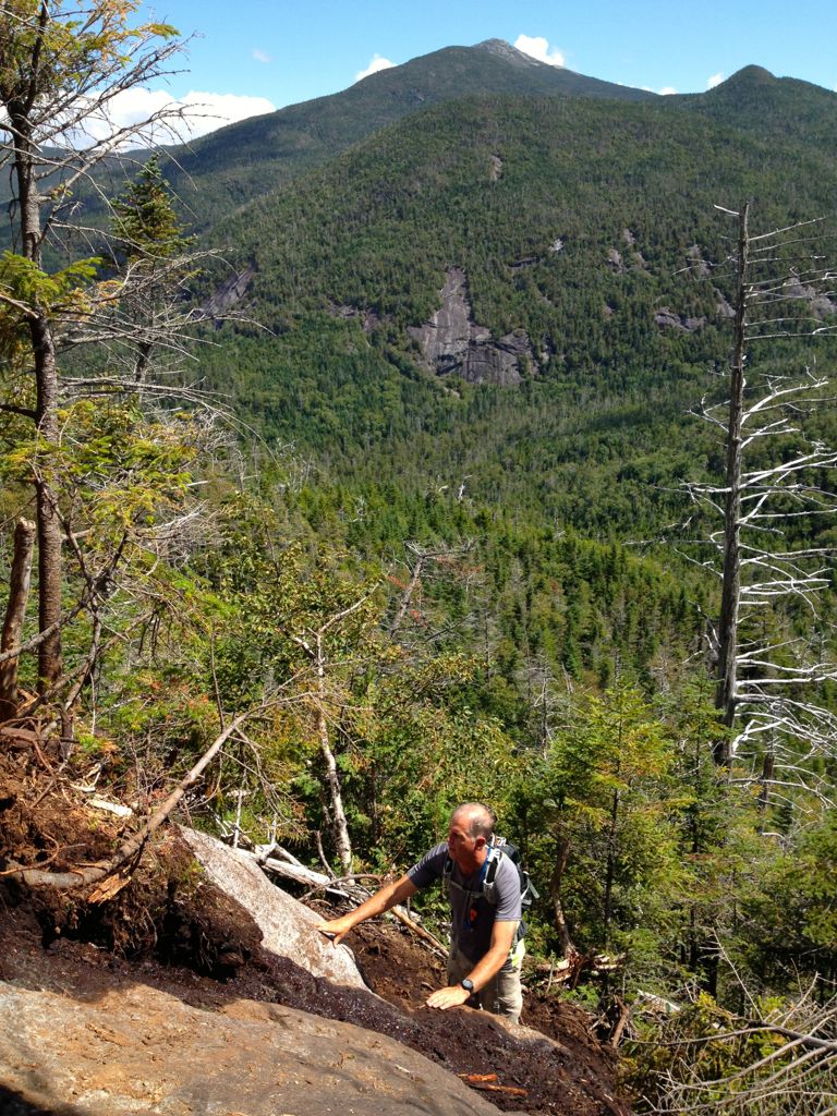
Gordon plotting his route through some rock and mud.

Ginette finally joined the 21st century and bought a cell phone — Her very first Selfie!
We genuinely enjoyed our trek to Cliff, including the muddy cliffs scrambles we had to manoeuvre, number 44 was in the bag.
Back down, we went taking the route out to Lake Colden along the Opalescent River. Walking out to the sound of the cascading water along the Opalescent was a pleasure and the highlight of the day. This gorge is breathtakingly beautiful.
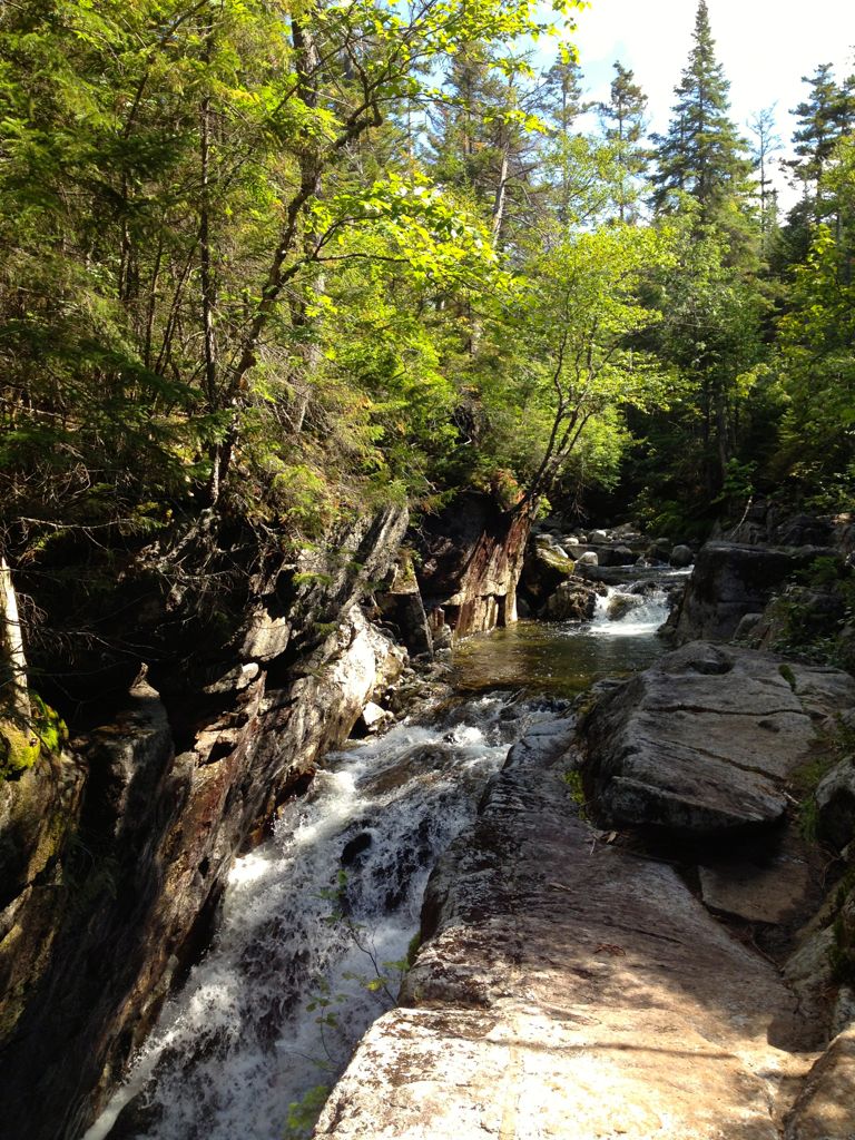
Opalescent River
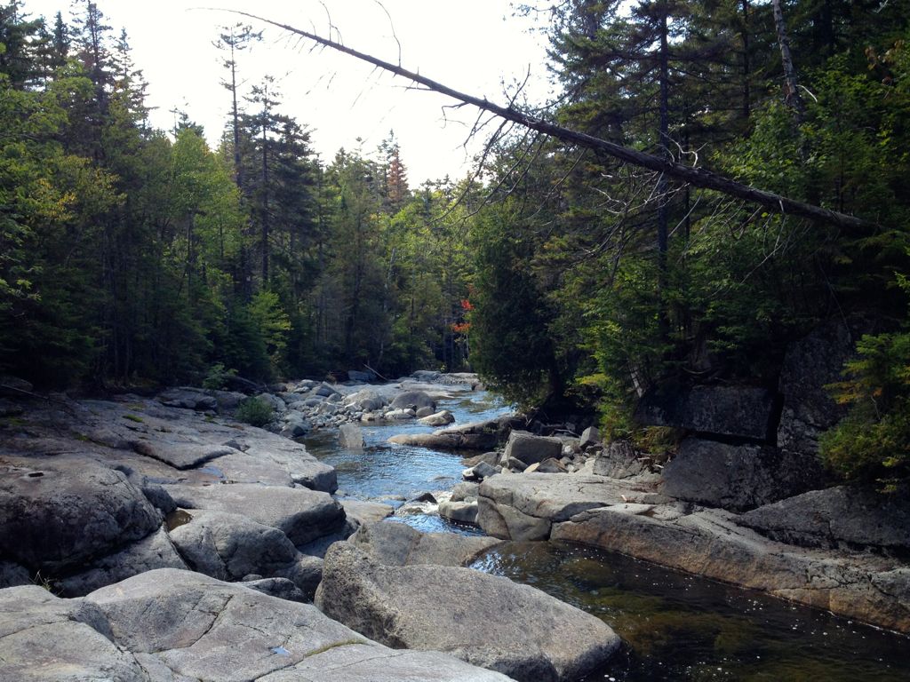
This photo was taken Mid-August and hints of the advancing season change was all around us.
Soon we reached Lake Colden and took the west route out via Avalanche Lake and Pass. Navigating the two miles through Avalanche Pass over large boulders, up and down short ladders is tiresome, but the views along the shore are spectacular and well worth the effort.
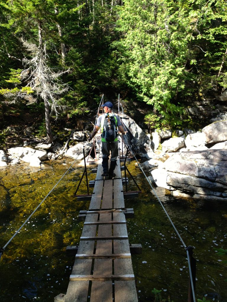
Gordon crossing the Opalescent River
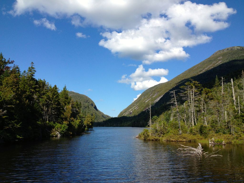
Lake Colden
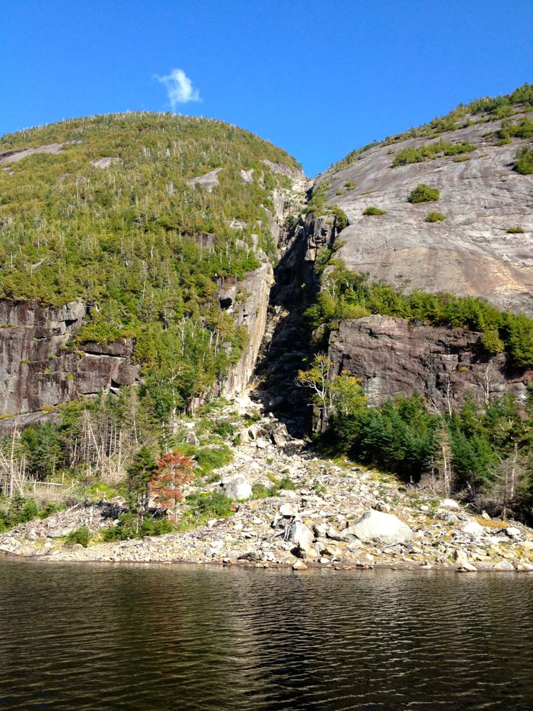
This pic does not do this slide justice – You are looking at the Colden Trap Dyke.
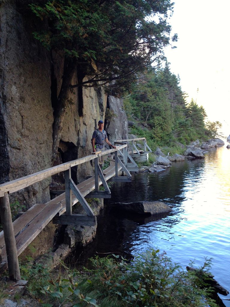
The infamous “Hitch-up Matildas” – the walkway is bolted into the rock face of Avalanche Mt.
With aching knees and sore muscles, we happily returned to the car by 6:30 pm. A rewarding day of hiking.
44 of 46 High Peaks. We are close now. Gray and Skylight next!
Update: We became Adirondack 46ers September 2014


Pingback: RTW Countdown Series: Two Years – Planning While We Hike | White Postcards
Pingback: The Adirondack 46ers Series: Our Big Finish; Gray and Skylight | White Postcards
Congratulations! That is a huge accomplishment. Love to have you as guides for us when we head to Lake Placid!
Thank you Sue, the Adirondack 46ers have been a joy to hike. We love it there — Let’s plan a weekend getaway!