By now we’d done a bit of research on the internet about the High Peaks region. We had also bought a trails illustrated map from National Geographic and a guide-book; Adirondack Trails. High Peaks Region published by the Adirondack (ADK) Mountain Club. The trail numbers on the map correspond to the ADK’s guide. The book describes the trails in the High Peaks region. This book has become an indispensable planning and reference tool both on and off the trail.
Blueberry and Porter Mountains

We learned that most hikers approach Porter Mountain from the trail just before the Cascade summit. An easy kind of two for one deal. Our lack of knowledge of the 46ers at the time led us to not doing the Porter Mt. leg when we climbed Cascade.
So when we decided to hike Porter Mt. we did not want to climb Cascade again, we opted to take an alternate route via Blueberry Mountain which is longer, hence less frequented. The trail head starts at Marcy Airfield which is a good 800 ft lower in elevation than the trail head at Cascade — so this climb was our biggest yet.
In late October, with our new map and guidebook we hit the trail. It was up, up and up to the summit of Blueberry Mt., a steep strenuous hike with open ledges and lookouts along the way.
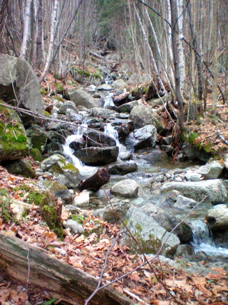
Crossing a brook along the trail
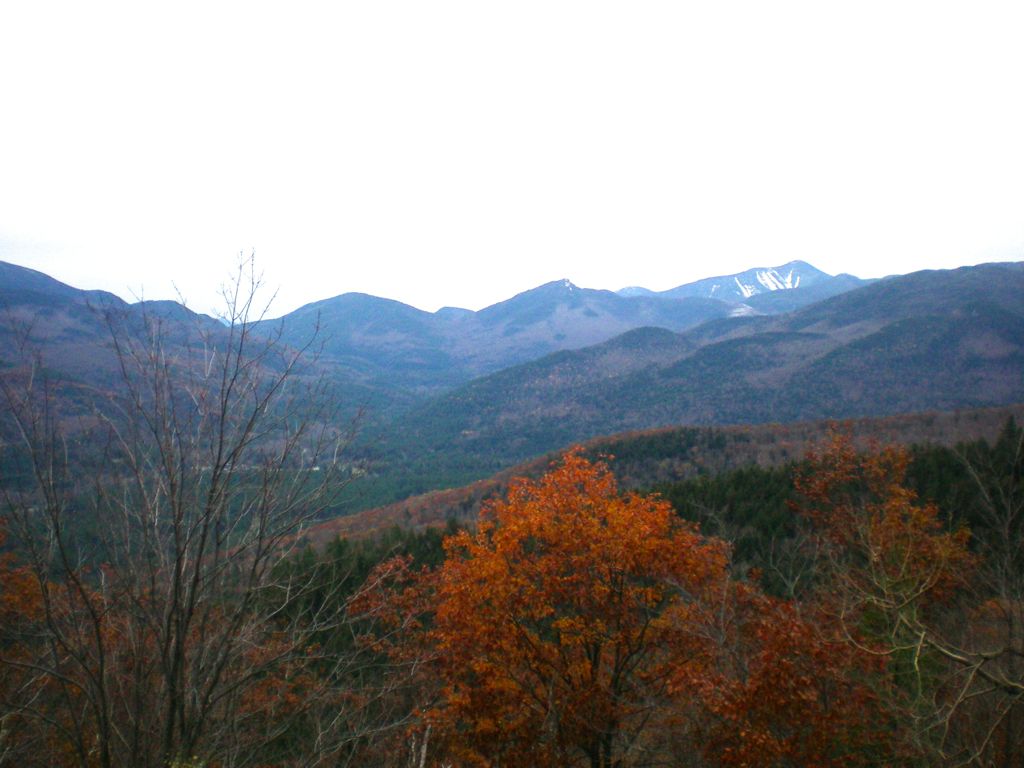
View of Whiteface Mt. in the distance
Reaching Blueberry Mt. we rested having ascended 1,900 ft., taking in the rewarding views before continuing on the other 1,375 ft to the summit of Porter Mt.

Large boulder at the summit of Blueberry Mt.
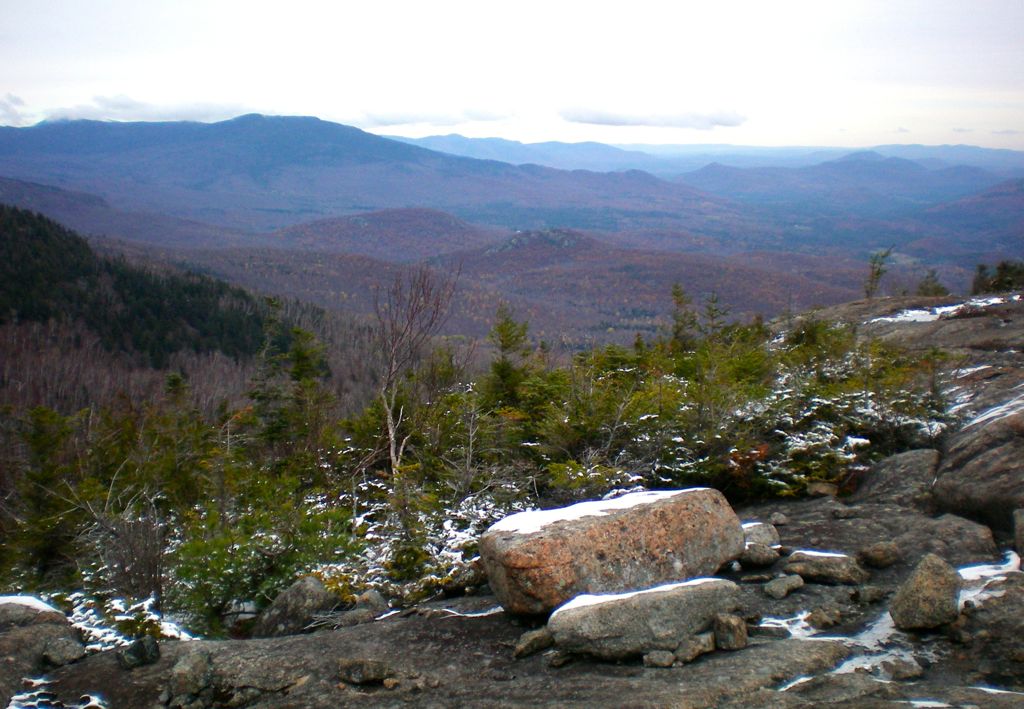
Blueberry Mt. summit view
The next leg of the journey to Porter was over a rugged trail. As we gained elevation we started encountering snow and ice, something we had not anticipated — we didn’t know about microspikes yet which made for an interesting scramble.
Unlike our previous two hikes, we were the only ones on the trail and enjoyed the solitude, walking through the spruce forest to the summit of Porter Mt.
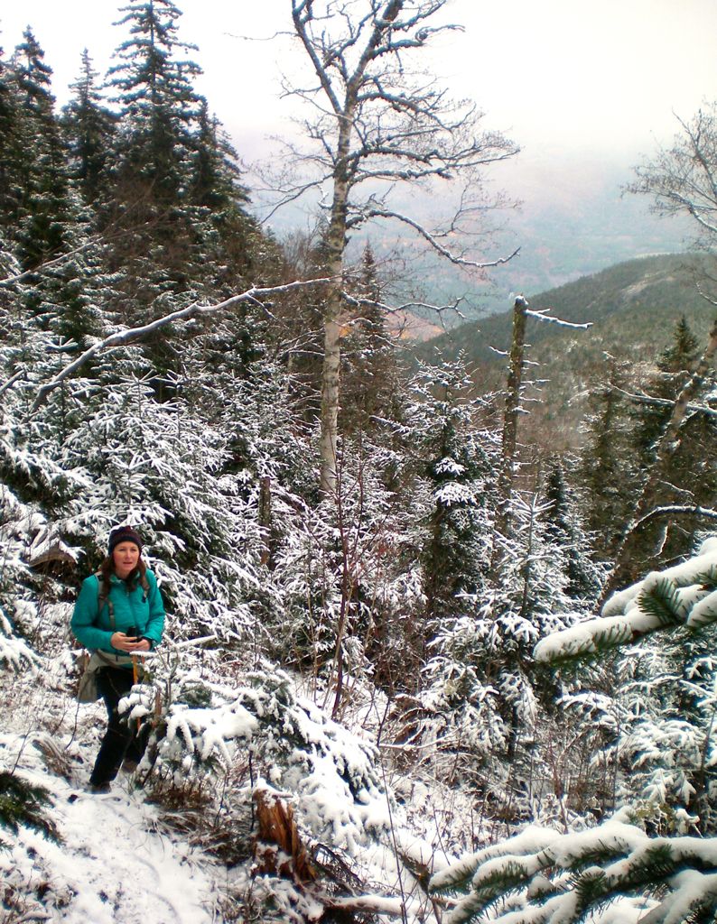
Walking through the spruce forest
No. 3 of 46


Lovely photos on your blog. I especially like the mountains, waterfalls and lake views.
Hi Vicki, thanks for stopping by our blog. Melbourne seems like a very beautiful city, one that I hope we get to visit on our RTW trip. -Ginette